 Enlarge
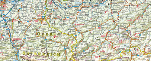
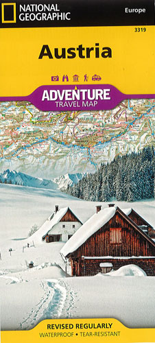
Austria National Geographic Adventure
$28.00
This NGS map of Austria is an invaluable tool for travelers exploring the baroque architecture, quaint mountain villages and rugged alpine terrain of this country. Cities and towns are easy to find with the map's helpful index. Motorways, highways, and other roads are clearly designated and include distance in kilometers so travelers can easily plan their route. Contains specialty content to include hundreds of diverse and unique recreational, ecological, cultural, and historical destinations. World Heritage sites, wildlife parks, botanical gardens, castles, archeological sites, monuments, zoos, golf courses and museums are clearly indicated so travelers can take advantage of Austria's many natural attractions and activities.
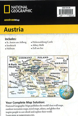
The western half of Austria is shown on one side of the print map from its borders with Liechtenstein, Switzerland, Italy and Germany, and details the provinces of Vorarlberg, Tirol, Salzburg, and the western half of Kärnten. The reverse side covers the eastern portion of the country from its borders with Czech Republic, Slovakia, Hungary and Slovenia. It includes the states of Steiermark, Oberösterreich, Niederösterreich, Burgenland, Wien and the eastern half of Kärnten.
Printed on durable synthetic paper, making it waterproof, tear-resistant and tough — capable of withstanding the rigors of international travel.