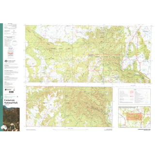
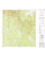
Carnarvon National Park 1:100,000/1:250,000
$15.00
This map depicts the complete National Park at 1:250,000 scale - 200 kilometres east to west and 93 kilometres north to south. An enlargement of the Mount Moffatt and Carnarvon Gorge Section at 1:100,000 scale - 55 kilometres east to west and 26 kilometres north to south.
Both maps contain natural and constructed features, including road infrastructure, foot tracks, vegetation, hydrography, contours (1:250,000 interval 50m and 1:100,000 interval 20m), localities and administrative boundaries.
The reverse side of the map depicts the 1:250 000 map using a satellite image with an overlay of major roads, foot tracks, tourism features and facilities as well as 3 enlargements featuring Salvator Rosa Section, Ka Ka Mundi Section and Carnarvon Gorge Section.
Printed In-House sent folded unless requested flat
Click on 'Options' for another finish ..................

