 Enlarge
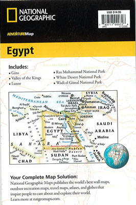
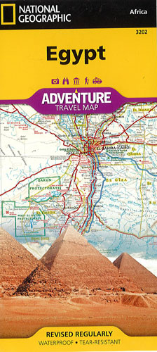
Egypt National Geographic Adventure
$28.00
This NGS map of Egypt is expertly crafted map providing global travelers with the perfect combination of detail and perspective, highlighting hundreds of points of interest and the diverse and unique destinations within the country. Cities and towns are clearly indicated and easy to find in the user-friendly index. A road network complete with distances and designations for roads, expressways, major routes, and secondary routes will help you find the route that's right for you. Transportation within and beyond the country is made easier with the location of airports, airfields, railroads, ferry routes, harbors, border crossings and police control points. In addition to typical sites of interest such as UNESCO sites, national parks, mosques, churches, and monuments, this map includes Egypt's many archeological sites, pyramids, oases, caves, and hot springs.
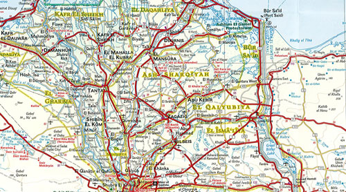
Egypt's northern half is shown on one side of the print map from its Mediterranean coast, Alexandria, and the great city of Cairo south to include the cities of Faiyum, Beni Suef, Minya, Asyut and Sohag. The reverse side of the map covers the southern portion of the country, and shows the cities of Nag Hammadi, Luxor, Aswan and Qena and the oases of Kharga and Dakhla.
Printed on durable synthetic paper, making it waterproof, tear-resistant and tough — capable of withstanding the rigors of international travel.