 Enlarge
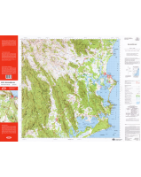
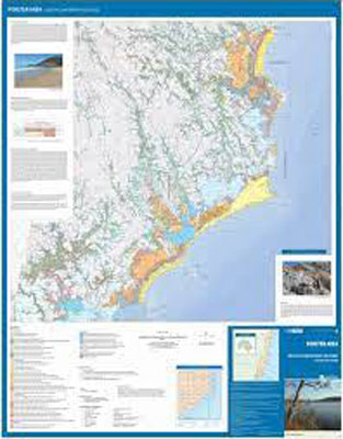
Forster Area Coastal Quaternary Geology
$8.00
The Coastal Mapping Project was funded by the NSW Government coastal assessment initiative and the Department of Primary Industry. Detailed geological maps of Forster (1:25 000 and 1:100 000) and Smiths Lake and Buladelah (1:25 000) are provided plus a comprehensive geological era reference and topographic reference.
Scale 1:100 000 and 1:25 000