 Enlarge
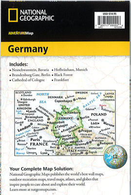
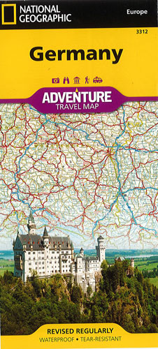
Germany National Geographic Adventure
$25.00
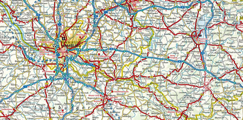
This NGS map of Germany is a highly functional travel tool whether you're exploring the scenic terrain, the many cosmopolitan cities, or the iconic historical sites. Cities and towns are clearly indicated and easy to find in the user-friendly index. A road network complete with distances and designations for roads, motorways, expressways, and secondary routes will help you find your route. National parks, museums, churches, castles, palaces, and points of interest are clearly indicated as are travel aids such as airports, railroads and ferry routes.
One side of the print map details the southern region of the country, from its border with Luxembourg, Belgium and France to the west, to Switzerland and Austria to the south, and Czechoslovakia to the east. The reverse side details Germany's northern region; bordering Belgium and the Netherlands to the west, Poland and Czechoslovakia to the east and the Baltic Sea, Denmark and the North Sea to the north.
Printed on durable synthetic paper, making it waterproof, tear-resistant and tough — capable of withstanding the rigors of international travel.