 Enlarge
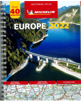
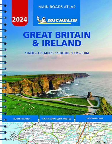
Great Britain & Ireland Road Atlas Michelin
$65.00
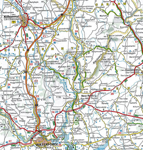
Full of practical features, the Michelin Road Atlas Great Britain & Ireland is the perfect companion for your everyday journey and holiday planning. It gives you clear and accurate information for a safe and enjoyable journey thanks to a detailed mapping scale of 1:300 000. The route planner, as well as the time and distance charts, will help you plan and optimise your journey. Michelins safety alerts warn you about dangerous driving areas, such as steep hills, level crossing as well as risk zone subject to tighter speed check.
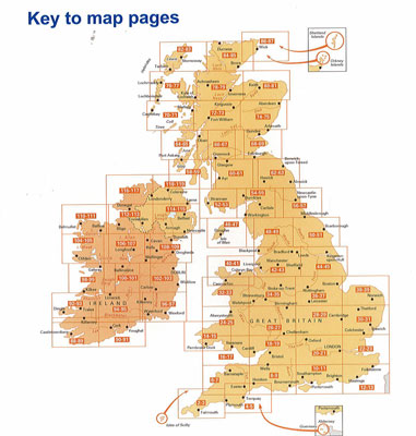
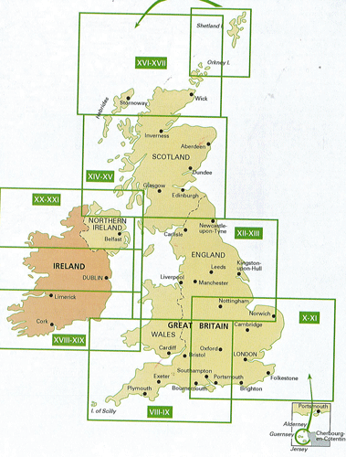
This Michelin Great Britain and Ireland road atlas also shows tourist sights, leisure facilities, as well a key to pages to quickly access your region of interest, practical street plan section for an easy navigation in urban areas & 52 town plans embedded in the mapping of their surrounding area. It is easier to navigate thanks to the location map featured on top of each page, an extensive place name index to easily identify the destination of your choice, comprehensive and detailed key to symbols used, fuel station and service areas, tourist information with place of interest and leisure facilities, as well as scenic routes, cross-referenced with the famous Michelin Green Guides, with towns underlined in green
23cm x 29cm x 1cm
2024