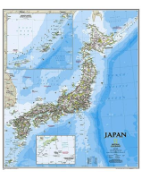
 Enlarge
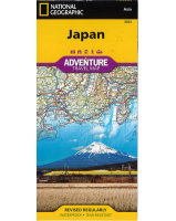
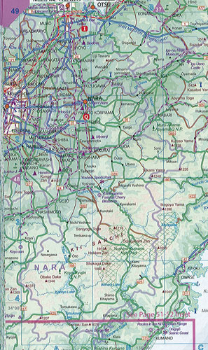
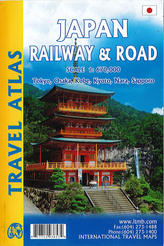
Japan Railway & Road Atlas Itmb
$28.00
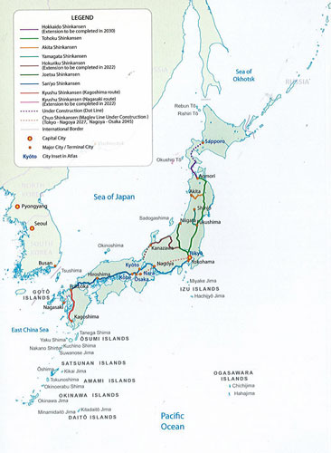
This new atlas is perfect bound and compact. The scale is so good that the country can be shown to advantage much better than a folded map. The vast majority of visitors to Japan travel around the country by using the country’s excellent rail network. Japan currently has a two-layer rail system – long-distance fast trains, called Shinkensen, and slower local trains serving all stops along a rail line. A third system, using Maglev technology, is under construction, but will not be available for several years. Japan has invested heavily in its rail network, including providing rail passes for visitors that make it easy for visitors to travel by train around the country. In the atlas, the fast trains are shown in red and the regular trains in blue. All major highways are shown as well. By expanding the scale, place names are easy to read, and points of interest easy to locate. 38 pages of urban maps are included, including transit maps for Tokyo, Kyoto, Nara, Osaka, and Sapporo. Conveniently sized to fit into a purse or large coat pocket, this atlas will be popular.