 Enlarge
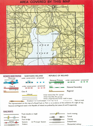
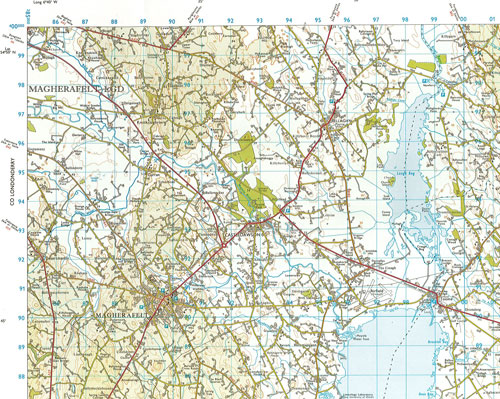
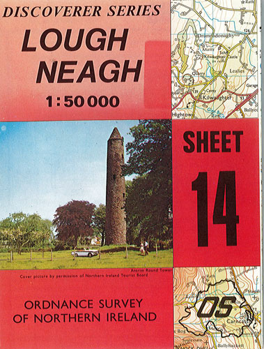
Lough Neagh #14 Ordnance Survey 1:50.000 Northern Ireland
$16.00
Sale $12.00
This map of Lough Neagh is part of the Ordnance Survey of Northern Ireland's Discoverer series (Sheet 14). It is a beautiful, clear map with a very detailed legend showing: roads and paths; railways and the accompanying infrastructure; water features; antiquities; general features; boundaries and tourist information. Major centres, such as Magherafelt and Antrim, are also shown.
Scale 1: 50 000