 Enlarge
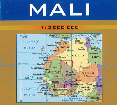
Mali Geographical Gizi
$25.00
This map of Mali @ 1:2,000,000 by Gizi Map has excellent presentation of the country’s topography, an enlargement for the Dogon Plateau, street plans of Bamako and Timbuktu, all showing places of interest, plus an extensive index.
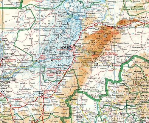
Topography is shown by altitude colouring with spot heights and plenty of names of mountain ranges and other geographical features. Additional graphics show sandy or rocky deserts, swamps and flood plains, salt flats and seasonal wadis. Also marked and named are numerous water wells in the desert areas, and oasis. National parks and other protected areas are highlighted.
Road network includes desert tracks, indicates border crossings and gives distances on main routes. The railway line to Bamako, local airports and ports along the Niger River are also shown, as well as the country’s administrative divisions with names of the provinces. The map highlights numerous places of interest and indicates locations with tourist accommodation. I also has an extensive index and the legend includes English.
An enlargement @ 1:1,500,000 shows the Dogon Plateau in greater detail. The Bamako area is presented a@ 1:50,000 naming main streets and neighbourhoods, with the city centre also shown @ 1:12,000. A more general plan covers Timbuktu/Tombouctou @ 1:10,000. All three plans highlight sights, hotels, medical facilities, etc.