 Enlarge
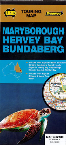
Maryborough Hervey Bay Bundaberg UBD 486/480
$12.00
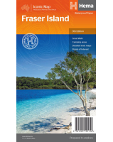
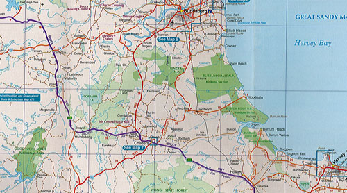
This map has a regional area that extends from Bulburin National Park in the north, Kingaroy & Noosa Heads in the south, Gayndah in the west & east to Fraser Island @ 1:500,000.
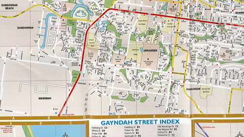
Town maps with street indexes for Maryborough, Bundaberg, Hervey Bay, Bagara, Burnett Heads, Tin Can Bay, Rainbow Beach & Gayndah. Childers & Moore Park Beach also included.
4th Edition