 Enlarge
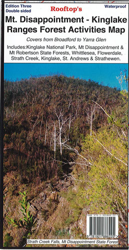
Mt Disappointment - Kinglake Ranges Forest Activities Rooftop
$12.00
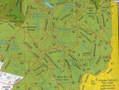
This map includes Reedy Creek, Wandong, Upper Plenty, Mount Disappointment, Hazeldene, Flowerdale, Strath Creek Falls, No.1 Camp, Blair's Hut etc. Facility symbols include Camping Areas, Picnic Areas, Lookouts and Fishing Spots. At 1:50,000 it also includes, roads, vehicle, motorcycle and walking tracks, contours, elevations, and GPS co-ordinates with an inset of the Strath Creek falls area.
Also included, Kinglake West, East & Central; Steels Creek, Strathewen, Pheasant Creek, Masons Falls, Mt Jerusalem, Mount Robertson, West Bridge, Wombelano. Facility symbols include Camping Areas & Wineries. At 1:50,000 it also includes, roads, vehicle, motorcycle and walking tracks, contours, elevations, and GPS co-ordinates.