 Enlarge
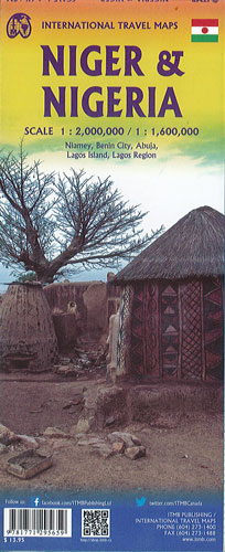
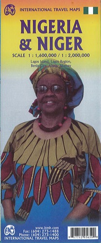
Nigeria & Niger ITMB
$22.00
This map by ITMB @ 1:1,600,000 & 1:2,000,000 of Nigeria, the economic powerhouse of the continent and Niger, strategically located at the intersection of the two great ideological conflicts of our time – modernism and traditionalism. It is a double sided map showing both countries at different scales.
Nigeria fills one side, showing major cities with a double circle and bold lettering, motorway-like roads in purple and main roads in green or red. Nigeria is Africa’s most populous country. The highlights of the country are its national parks – Yankari, Gashaka Gumti, Old Oya, and Osun Osogbo. Inset maps of Lagos, and Abuja are included.
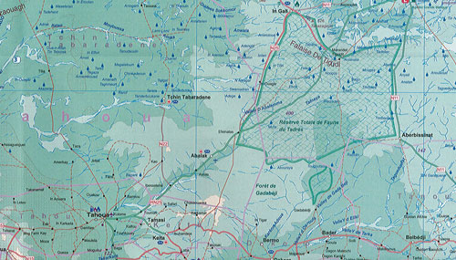
Niger, on the other side, is a country caught in the crosshairs of the great conflict of our times between the idea of modernism and the resurgence of a brand of militant Islam. The south of the country contains the most touristically significant aspects of Niger. The Grand Mosque in Niamey is the largest in the country. The international animal preserve known in Niger as W-Arly-Pendjari straddles the border with both Benin and Burkina Faso to create a unique wildlife heritage enclave. The roads are shown for the Hoggar route across the Sahara from Algeria to Agadez. This is an important map for adventure travel.