 Enlarge
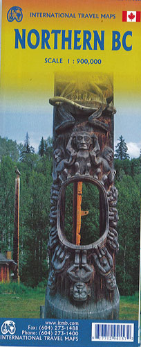
Northern British Columbia Itmb
$20.00
This map of Northern British Columbia by ITMB @ 1:900,000 is double sided.
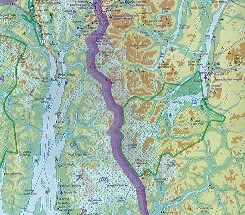
Side 1 is of the western portion, including the Alaskan Panhandle, with the route followed by cruise ships heading north and clearly delineates the border between Canada and the USA. It also shows the Stewart Highway heading north towards the Yukon, with its branch leading to Hyder, Alaska.
The second side covers the eastern half of BC’s north, with the Alaska Highway starting in Dawson Creek and extending north to Fort Nelson before veering west into the eastern edge of the Rocky Mountains to the Yukon border. This is true wilderness country. It is virtually unpopulated outside of small towns. One can drive for hours and never see another vehicle. It rings with images such as the Chilcoot Trail to the goldfields, or the arduous wartime track created as a land bridge to defend Alaska in case of invasion. It would take a full day to drive from the south to the north of this map. This is a ‘must have’ map for any for adventure traveller.