 Enlarge
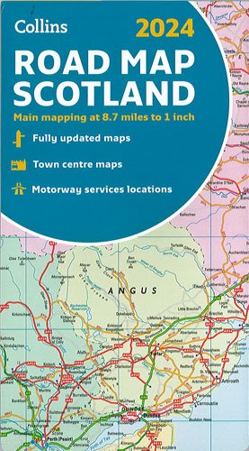
Scotland Collins
$17.00
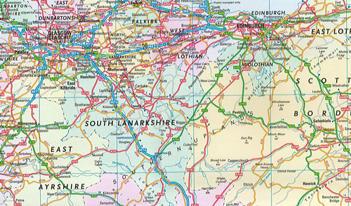
Single sided colour map of Scotland and part of Northern England at 8.7 miles to 1 inch (1:550,000) with clear, detailed road network and administrative areas shown in colour. Administrative areas shown in colour, detailed road network and road distances, town and city names, rivers, railway lines and canals are clearly shown. 7 city/town centre street plans showing places of interest. Place name index, mileage chart and car ferry routes.