 Enlarge
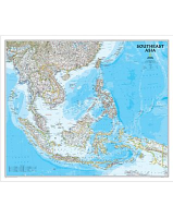
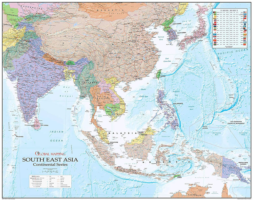
South East Asia Global Mapping 1200 x 945
$85.00
South East Asia @ 1:7,500,000 from Global Mapping has coverage extending to include most of the Indian Subcontinent, Central Asia and China, plus the Koreas, Japan, the Philippines and Papua New Guinea. It also contains a panel with national flags.
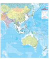
With countries presented in pastel colours against light blue seas, coverage extends west to Karachi and the Aral Sea to include most of Pakistan, eastern Afghanistan with Kabul and Kandahar, Tajikistan, Kyrgyzstan and most of Uzbekistan. Ulaanbaatar is on the northern edge of the map, and the map extends eastwards across the Pacific to include Papua New Guinea, Guam and the Northern Mariana Islands. On land the map shows the network of main roads and railways, plus main and selected local airports. In selected countries, including India, China, Burma and Indonesia, internal administrative divisions and names of state/provinces are also shown. Topography is well presented by relief shading with names of main mountain ranges, peaks, plus rivers and lakes. The map also provides a vivid representation of the ocean floor through shading and colour.
120cm wide x 95cm drop