 Enlarge
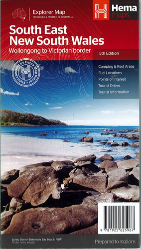
South East New South Wales Hema
$15.00
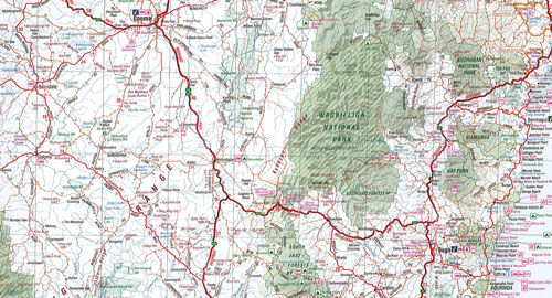
South East New South Wales Map (5th edition) - a regional map of South East NSW (1:385,000) that ranges from Wollongong down to the Victoria border and out to Gundagai and past Jindabyne in the West.
Covered regions in the map include; Illawarra, Jervis Bay & Shoalhaven, Batemans Bay, Canberra & surrounds, Merimbula & Sapphire Coast, Southern Highlands, Goulburn Region and the Snowy Mountains. On the opposite side is extensive information on numerous regions, including visitor, historical and background information.
Edition 5