 Enlarge
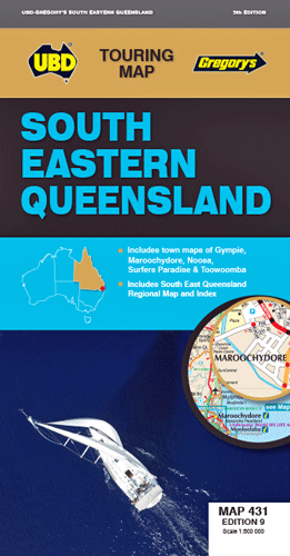
South Eastern Queensland UBD 431
$12.00
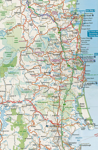
This UBD map of South Eastern Queensland includes regional coverage from Murgon, Gympie and Double Island Point in the north, Tenterfield and Evans Head (NSW) in the south, Columboola in the west and east along the coast from Double Island Point to Evans Head. There is also an index to towns included on this coverage.
There is also a smaller regional map at a scale of 1:2,600,000 indicating the location of the towns and covering from Brovinia in the north, Deepwater (NSW) in the south and east along the coast from Rainbow Beach in the north to Bundjalung National Park (NSW) in the south & west to Glenmorgan.
There is also included street level maps at a scale at 1:20,000 for the Gympie area including Araluen and Southside; Maroochydore and the surrounding suburbs including Buderim and Alexandra Headland; the Noosa area including the suburbs of Tewantin and Sunrise Beach. There is also a street level map of Surfers Paradise from Main Beach in the north to Broadbeach in the south @ 1:15,000 plus a map of Toowoomba town centre @ 1:10,000.
Edition 9