 Enlarge
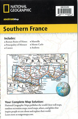
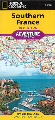
Southern France National Geographic Adventure
$25.00
This NGS map of Southern France is designed to meet the needs of adventure travelers with its detailed, accurate information. This map includes the location of cities and towns with a user-friendly index and a clearly marked road network complete with distances and designations for roads/expressways, plus secondary routes for those seeking to explore off the beaten path. Among the many points of interest are national parks, campsites, beaches, ski resorts, golf courses, archeological sites, castles, churches, monuments and more.
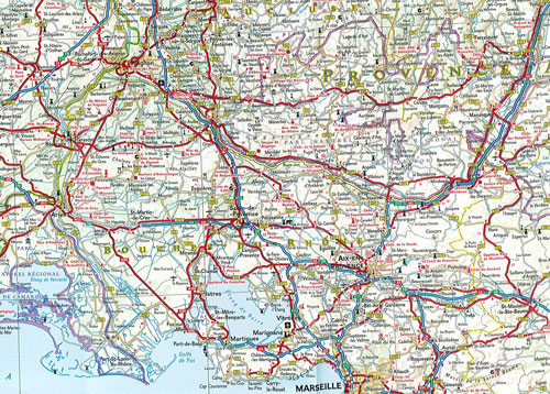
One side of the print map details the eastern region, from its border with Monaco and Italy to the east, and the Riviera (Cote d' Azur), Mediterranean Sea and Golfe Du Lion to the south. The reverse side of the map details Southern France's western region, extending from the Bay of Biscay to the west, Spain and Andorra to the south, and the Golfe du Lion to the east. Users will find a variety of helpful travel aids on this map as well, including the location of airports, railroads, and ferry routes.
Printed on durable synthetic paper, making it waterproof, tear-resistant and tough — capable of withstanding the rigors of international travel.