 Enlarge
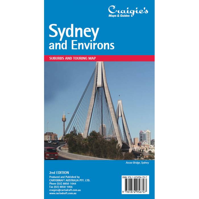
Sydney & Environs Craigies
$12.00
Craigies Sydney & Environs is an updated double sided map. Extending from Nelson Bay in the north, Sussex Inlet in the south, to Lithgow in the west, it features all major and secondary roads, suburbs and towns, national and state route numbers, all fully indexed.
The Sydney Suburbs side has a full suburban index with postcodes, Industrial areas, national parks and forests. It extends from Brisbane Water in the north, Stanwell Tops in the south, and to Lapstone in the west. Environs Scale 1:308 000, Sydney Suburbs Scale 1:98 000
700 x 1000mm
Edition 2