 Enlarge
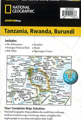
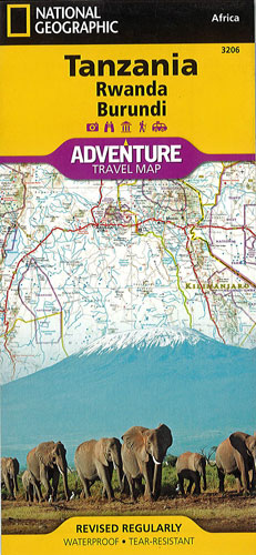
Tanzania Rwanda & Burundi National Geographic Adventure
$25.00
Covering the region with unparalleled detail is NGS' map of Tanzania, Rwanda and Burundi. This expertly researched map combines topographical information, points of interest and a road network. One side covers the western half of Tanzania and the entirety of Rwanda and Burundi, along with Lakes Victoria and Tanganyika and Serengeti and Ruaha National Parks. While the reverse side covers the country's eastern half to its Indian Ocean shoreline as well as the islands of Mafia, Zanzibar and Pemba, the cities of Dar es Salaam and Dodoma, Selous Game Reserve, Ngorongoro Conservation Area and Kilimanjaro National Park.
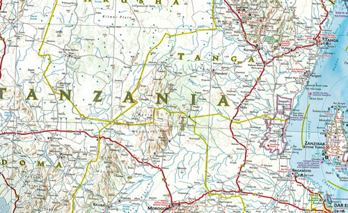
Find cities, towns and protected areas quickly with a user-friendly index. A mapped transportation network of major and secondary roads, tracks, border crossings, harbors, railway lines and ferry routes will help you get to your destination. Pinpointed on the map are national parks and reserves, kopjes, swamps, mangroves, areas of forest cover, scenic viewpoints, archeological sites, caves, churches, mosques, rock engravings, museums, hotels, lodges, campsites, beaches, diving areas, coral reefs and shipwrecks along with many other cultural, historical, ecological and adventure points of interest, including many hidden gems.
Printed on durable synthetic paper, making it waterproof, tear-resistant and tough — capable of withstanding the rigors of international travel.