 Enlarge
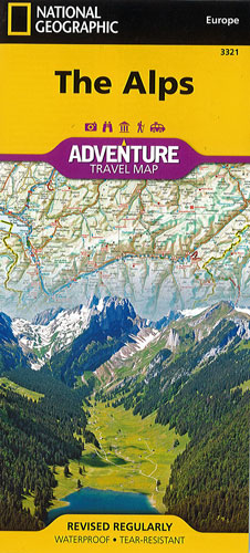
The Alps National Geographic Adventure
$25.00
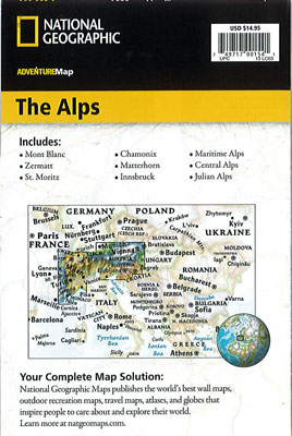
This NGS map of the Alps will guide you across the iconic mountain range that stretches across the eight European countries of Austria, France, Germany, Italy, Liechtenstein, Monaco, Slovenia and Switzerland. This map includes the locations of thousands of cities and towns with am easy-to-read index, plus a clearly marked road network complete with distances and designations for motorways, dual carriageways, trunk roads, main roads and minor roads. Seasonal closures are noted as well.
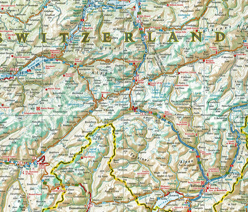
One side of the print map covers the western portion of the region from Grenoble, France and Genéve, Switzerland south to Milano, Italy and east to the western border of Austria. It also includes the countries of Liechtenstein and Monaco and the cities of Torino and Zürich. The Mediterranean coast is shown from Cannes, France to Génova Italy. The eastern side covers München (Munich), Germany in the north to Vicenza, Italy in the south and reaches to Trieste, Italy and the borders of Croatia and Hungary. The cities of Wein (Vienna), Innsbruck, Treviso and Ljubljana are also included.
Printed on durable synthetic paper, making it waterproof, tear-resistant and tough — capable of withstanding the rigors of international travel.