 Enlarge
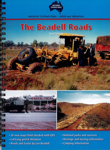
The Beadell Roads
$40.00
26 Double pages of maps with 60 plus Points of Interest explained in the text section.
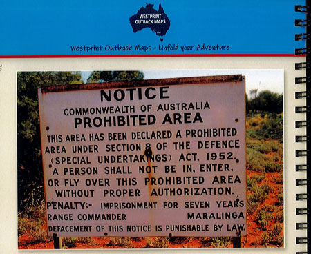
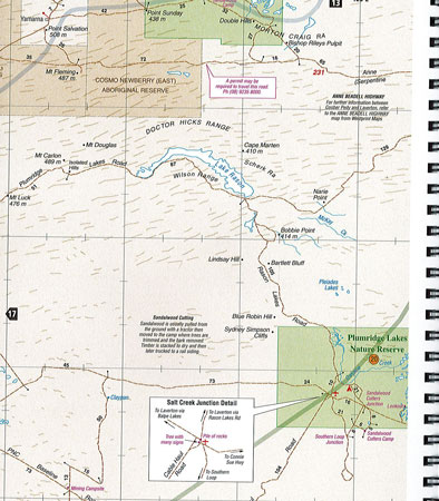
These maps cover a large area of the Great Victoria, Great Sandy, Little Sandy and Gibson Deserts, an isolated region covering parts of South Australia, Western Australia and the Northern Territory. The road surfaces shown vary from excellent bitumen to dangerous corrugations, washaways, stone and loose sand. Fuel and limited supplies are available at remote roadhouses in the region. In the interest of safety, it is recommended that at least two vehicles travel together, each being self-sufficient with water, fuel and food. This applies to all roads and tracks with the possible exception of the Great Central Road.
This atlas & guide also has information about the early European explorers who travelled this arid region of Australia long before Len Beadell started building roads through it.