 Enlarge
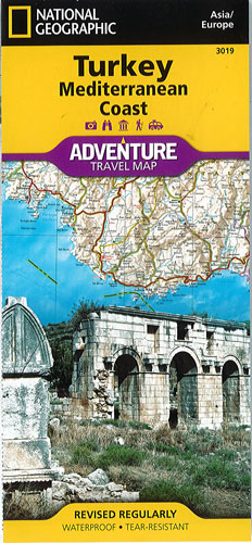
Turkey & Mediterranean Coast National Geographic Adventure
$30.00
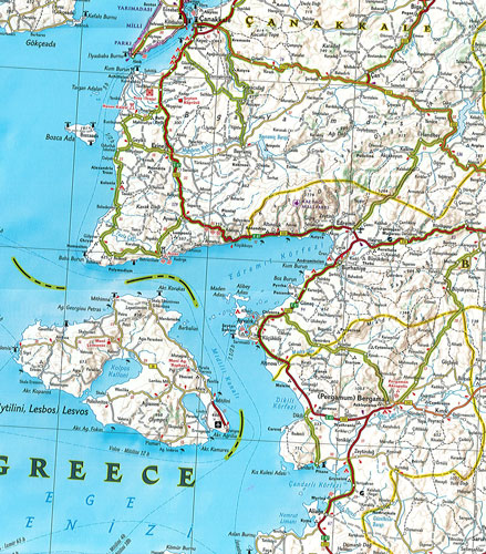
NGS' Turkey & Mediterranean Coast map is designed to meet the needs of adventure travelers with its detailed, accurate information and user-friendly design. Cities and towns are easy to find with the map's helpful index. Expressways, major routes, secondary routes and other roads are clearly marked and include distance in kilometers so travelers can easily plan their best route. Scenic roads, tracks and paths are included for adventurers seeking to explore more remote regions. Hundreds of points of interest are highlighted such as World Heritage sites, archeological sites, churches, mosques, castles, monuments, beaches and protected areas.
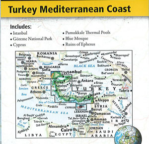
One side of the print map details the southern coastal region of the country. This side shows the Mediterranean Sea to the south and Syria to the east. The coastline expands from Kas to Iskenderum. The reverse side of the map details Turkey's western coastal region of the country and its border with Greece and Bulgaria, showing the western coast from Sea of Marmara down to the Mediterranean Sea.
Printed on durable synthetic paper, making it waterproof, tear-resistant and tough — capable of withstanding the rigors of international travel.