 Enlarge
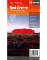
Watarrka National Park
$12.00
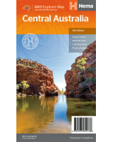
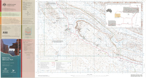
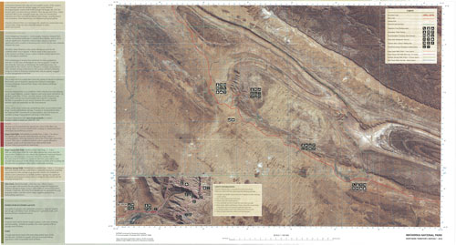
This map contains natural and constructed features including road infrastructure, foot tracks, hydrography, vegetation, contours (interval 20m), localities and some administrative boundaries. The reverse side of the map depicts the same area using a satellite image with an overlay of major roads, tourist attractions, facilities and an inset of Kings Canyon.