 Enlarge
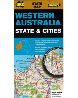
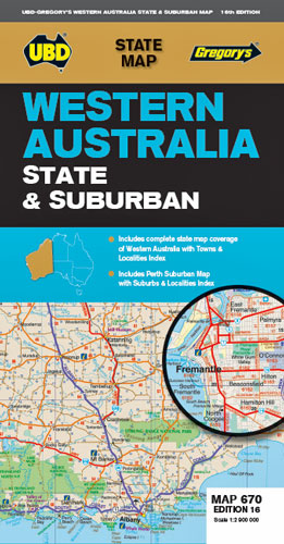
Western Australia State & Suburban UBD 670
$12.00
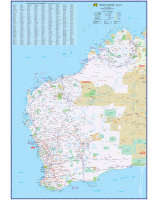
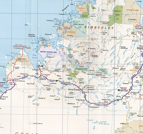
This map shows the whole state of Western Australia on one side with major roads and tracks and intermediate road distances, national parks and reserves, aboriginal land, prohibited areas and various points of interest and with a complete town index.
On the reverse side is a map of Perth suburbs with index & an enlargement of the south west region @ 1:870,000.
Suburban map coverage of Perth and surrounds, north to Ridgewood, south to Halls Head and North Dandalup, and east to the Lakes, Karragullen and Gleneagle (including insets of Yanchep and Pinjarra) with an index to the suburbs and localities is included.
Edition 16