Western Coalfield North Geological 1:100 000
$10.00
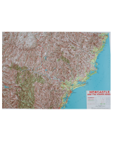
This 1:100 000 scaled topographic map indicates varying geological eras by colour code and provides topographical and geological symbol references plus cross-sectional diagrams of the area covering the Wollemi and Goulburn River National Parks and Munghorn Gap Nature Reserve.
Edition 1, 1998


