 Enlarge

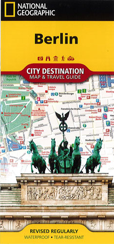
Berlin City Destination National Geographic
$22.00
National Geographic's City Destination map of Berlin is a complete travel guide to Germany's populous capital city. The front side presents a detailed road network with designations for through routes, main and secondary roads, one way streets and pedestrian areas. It features hundreds of popular and lesser known attractions and a multi-language legend. Pinpointed are subway (U-Bahn) and train (S-Bahn) stations, hotels, parks, places of worship, theaters, notable building, monuments and other points of interest. Many popular sites are depicted in 3D, like the Berliner Dom, Fernsehturm and Brandenburg Tor (Gate) .
The reverse side has a regional map as well as descriptions of the city and many of the most visited attractions. A user-friendly index of streets, hotels, parks, theaters, hospitals, public transit stations and other points of interest will help you find your destination quickly. A public transit map of U-Bahn and S-Bahn stations along with an overview of the transit system will help you plan your route. Included also are insert maps of Potsdam, Schloss Charlottenburg, and downtown area, as well as diagrams of Tegel and Schonefeld Airports.
It is printed on durable synthetic paper, making it waterproof, tear-resistant and tough — capable of withstanding the rigors of any kind of travel.