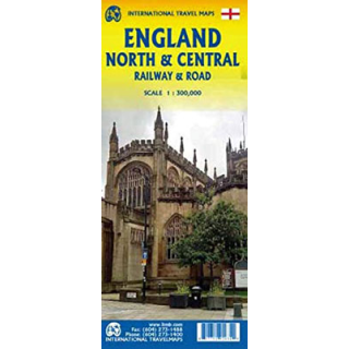
England North & Central Railway & Road ITMB
$20.00
This ITMB map of England North & Central Railway & Road covers from Birmingham/Peterborough north to York on side one as well as from Lancaster north to the Scottish border at Berwick-upon-Tweed. As the border angles in a southwesterly angle, the map also includes much of the Scottish border region as far west as Dumfries. Rail connections are emphasized to assist users while roads for driving and cycling are also depicted.
The legend includes: England Boundaries, Country Boundaries, Capitals, Motorways, Highways, Main Roads, Railways, Theme Parks, Museums, Churches, Caves, Hotels, Rivers, Beaches, Waterfalls, Ferries, Harbours, Zoos, Golf Courses, National Parks, Parks and other points of interest.
Depicted in the scale of 1:300,000.

