 Enlarge
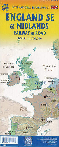
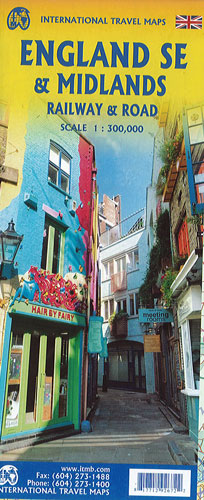
England South East & Midlands Railway & Road ITMB
$20.00
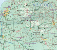
South East England - from the English Channel north to the northern tip of East Anglia and west to Portsmouth/Reading/Peterborough is on one side. Side two consists of what is generally called ‘The Midlands’ stretching from Cambridge/Peterborough west to the Welsh border and from Luton/Gloucester north to Manchester/Grimsby.
London is, of course, prominent, but only as a main roads map. When travelling through these areas one needs a detailed enough map to show rail lines, motorways, A-type highways and B-type secondary roads but also the tertiary level of road joining villages. England also has a sophisticated rail network and this is left off most maps to avoid clutter. This map emphasizes all the rail lines carrying passengers, which makes the London portion look very busy as there are lines everywhere. All motorways and highways are shown, but rail lines are prominently shown for travel by train.
A Top Attractions list has been included as well as hundreds of interesting touristic sites.