 Enlarge
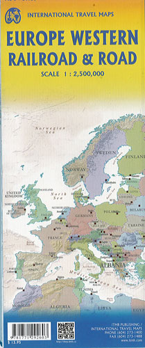
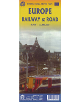
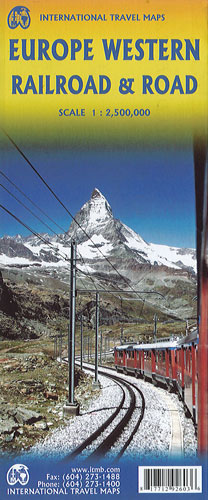
Europe Western Railroad & Road ITMB
$22.00
This Europe Western map by ITMB focusses on the western half of the European land mass at a much better scale than would be possible for all of Europe. Even at this scale, showing the rail lines and the major roads results in a map with a lot of information on it, but it meets the needs of those travelling around Europe by rail, which is its primary market. It can also be used by those driving, although it would be better for vehicle users to rely on individual country maps.
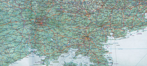
Side 1 covers the British Isles, the Low Countries, Germany, Denmark, the Czech Republic, most of Poland, and southern Scandinavia. The second side covers the Iberian Peninsula, France, Italy, Slovenia, Croatia, Bosnia, Austria, Hungary, and the southern portion of Germany.
Trains tend to be used by travellers in Europe for longer trips, say from Frankfurt to Rome. Included are the UNESCO World Heritage sites, major churches, and most international airports. Coverage includes major ferry routes and includes the islands of Majorca, Menorca, Ibiza, Sardinia, Elba, and Corsica, Sicily, and Malta. As the EU evolves, passenger rail service is increasingly becoming a pan-European reality, but German trains running on French lines and Italian trains going north into Austria.