 Enlarge
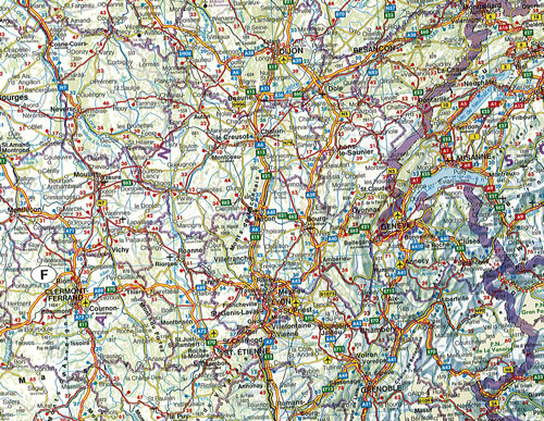
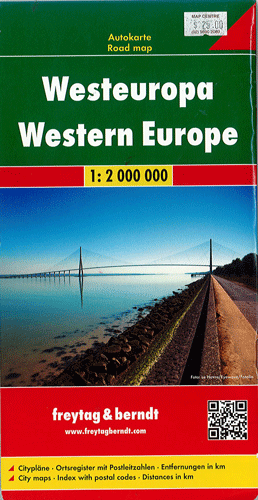
Western Europe Freytag & Berndt
$25.00
This Freytag & Berndt map will help you to plan your trip, prepare your itinerary and to travel independently in Western Europe. It covers the United Kingdom, France, Spain, Portugal, Belgium, the Netherlands, Switzerland, western Germany and north-western Italy. Main roads such as motorways, dual-carriageways and highways are depicted along with some minor roads. Railways, airports, ferry routes all clearly marked while intermediate driving distances between locations are shown in kilometres alongside the road.
Depicted in the scale of 1:2,000,000.