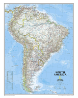
 Enlarge
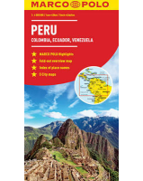
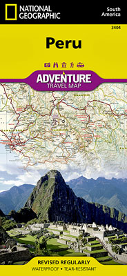
Peru National Geographic Adventure
$30.00
This NGS map of Peru has hundreds of points of interest and diverse and unique destinations are highlighted including World Heritage sites, archeological sites, churches, museums and more. This map includes the locations of thousands of towns and villages, plus a clearly marked road network complete with distances and designations for highways and roadways. Rough tracks that require four-wheel drive vehicles and paths are included for adventurers seeking to explore more remote regions. National parks and reserves, wildlife centers, beaches, caves, waterfalls, and spas are clearly indicated so travelers can take advantage of Peru's many natural attractions and activities.
The northern half of the Peru map includes the regions of Loreto, Tumbes, Piura, Amazonas, Lambayeque, Cajamarca, La Libertad, Ancash, Huánuco and Ucayali. This section of the map spans from Peru's borders with Ecuador and Colombia on the north and Brazil on the east, down to the coastal city of Chimbote. The regions of Tacna, Puno, Pasco, Moquegua, Madre de Dios, Lima, Junín, Ica, Huancavelica, Cusco, Ayacucho, Arequipa and Apurímac are included on the southern half of the map.
Printed on durable synthetic paper, making it waterproof, tear-resistant and tough — capable of withstanding the rigors of international travel.