 Enlarge
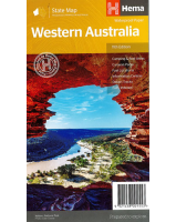
Western Australia ITMB
$20.00
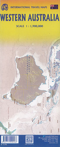
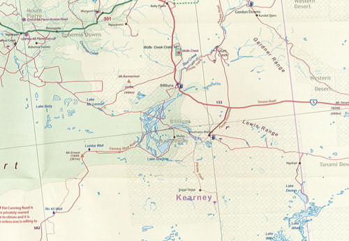
This double sided map of the state of Western Australia shows the northern half of the state on one side (Kimberley & Gibb River Road) and with the southern half of the state on the reverse side. The main city is Perth, in the southwest and this is the part of the State with the best land and the most people. Much of the interior is arid desert-like grassland with shallow lakes that often dry out. The road network in the south is generally paved highways and secondary roads, with one road and one rail line heading east to SE. Roads in the north tend to be dirt, with the exception of the highway going towards Darwin in NT. There are no roads through the Great Sandy Desert but the Canning Stock Route crosses the eastern fringe, going north-south and a permit is required to drive this hazardous track. Most of the attractions of the State are to be found fairly close to the coastline. Most of the larger urban areas tend to have been named after British places, such as Albany, Exmouth and Port Hedland but many names have been adopted from aboriginal sources, such as Kalgoorlie. This is a state of vast distances and varied terrain.