Great Britain & Ireland
Shop by Category
-
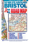
50 Miles Around Bristol Road Map AZ
This 50 Miles Around Bristol Road Map by AZ offers coverage of Bristol to Builth Wells, Leominster…
$15.00
-
 Sale
Sale
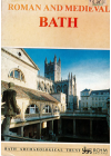
Bath Roman and Medieval
Ordnance Survey's historical map and guide of the Roman and Medieval town of Bath lists information…
$20.00$15.00
-

Birmingham Mini AZ Map
This mini, foldable map of Birmingham is part of the well-known AtoZ series. It is a map of the city…
$12.00$10.00
-
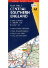
Central Southern England AA 2
This AA road map of Central Southern England combines clear indexing and detailed mapping with an…
$20.00
-
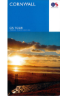
Cornwall Tour Ordnance Survey
The British Ordnance Survey map of Cornwall @ 1:100,000 will help you to discover this area - the…
$26.00
-
 Sale
Sale
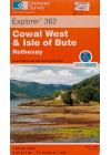
Cowal West and Isle of Bute, Rothesay
Ordnance Survey's map of Cowal West, Isle of Bute and Rothesay is No. 362 in the Explorer Series. It…
$20.00$15.00
-
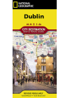
Dublin National Geographic
One side of the Dublin map by NGS presents a detailed road network with designations for through…
$20.00
-
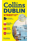
Dublin Street Finder Collins
This Collins map of Dublin is a detailed street by street map covering central Dublin and the…
$14.00
-
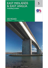
East Midlands & East Anglia - Ordnance Survey 5
The OS map of East Midlands & East Anglia includes all motorways, primary routes and A…
$20.00
-

East Midlands Road Map AZ
This AZ road map of the East Midlands covers the road networks of this area in detail. It…
$16.00
-
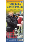
Edinburgh & Southern Scotland Itmb
The Royal City of Edinburgh has a long history and the sites to justify a good visit. First is…
$18.00
-
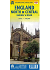
England North & Central Railway & Road ITMB
This ITMB map of England North & Central Railway & Road covers from…
$20.00
-
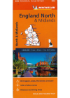
England North & Midlands #502 Michelin
Thi North Englanc & Midlands regional touring map @ 1:400,000 by Michelin contains the practical…
$25.00
-
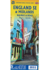
England South East & Midlands Railway & Road ITMB
South East England - from the English Channel north to the northern tip of East Anglia and west to…
$20.00
-
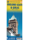
England South & Wales Itmb
This England South (or Southern England) including Wales is great for those who fly into one of…
$20.00
-
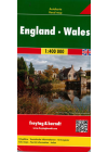
England Wales Freytag & Berndt
This map of England Wales by Freytag & Berndt @ 1:400,000 is double sided with the Western half…
$25.00
-
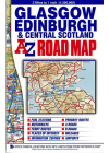
Glasgow Edinburgh & Central Scotland AZ
This A-Z map of Glasgow, Edinburgh & Central Scotland maps south of Glencoe and Montrose, to the…
$23.00
-
Great Britain Borch
Folded road and travel map in color. Scale 1:800,000 showing motorways to secondary roads. Legend…
$25.00
-
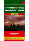
Great Britain & Ireland Freytag & Berndt
Explore Great Britain & Ireland with this Freytag&Berndt double-sided road map. The best way…
$25.00
-
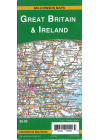
Great Britain Ireland GMJ
This map of Great Britain & Ireland is double sided with Freytag & Berndt mapping and…
$17.00