Enlarge


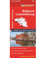
Belgium & Luxembourg Insight
$15.00
Sale $12.00
This Insight Guides map of Belgium & Luxembourg includes detailed city plans of Brussels and Luxembourg City, each with its own listing in the index. Places of interest including museums, monuments, religious sites and national parks are listed with a wide range of pictorial symbols. This map has handy distance indicators in the margin giving distances to the nearest town, major locations and motorway junction, if applicable, intermediate driving distances are given on main roads. The extensive legend is shown in 4 languages.
The road map is depicted in the scale of 1:300,000.
It has a tough laminated finish, is waterproof and can be written on with a non-permanent marker pen.