 Enlarge
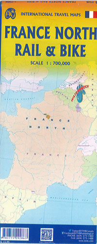
France North Rail & Bike Itmb
$22.00
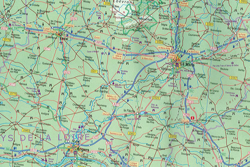
The northern half of France is a rather large area covering several provinces and this map combines rail access with biking with all the motorways and main highways ideal to plan a drive to say, Brittany and bike during the stay in the Breton peninsula.
Side 1 covers Normandy, Brittany, the Loire, and the Poitou region west of Paris. Side 2 covers all of northern France from Calais to Strasbourg and south to Lyon. Small adjacent portions of Switzerland and Italy and the Top 9 Attractions are included.
Printed on Waterproof paper for durability