 Enlarge
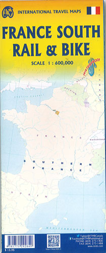
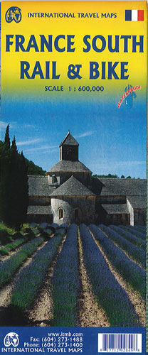
France South Rail & Bike Itmb
$20.00
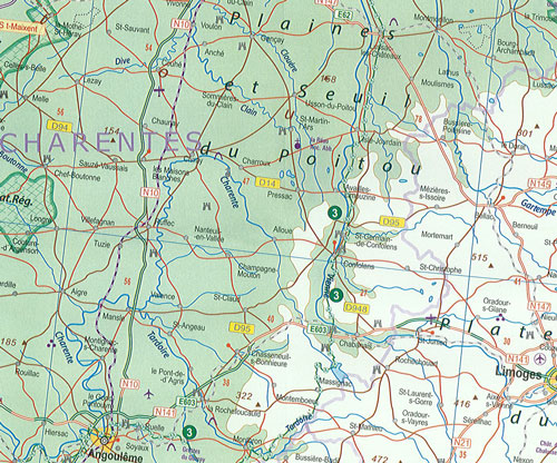
Printed on Waterproof paper and while showing train routes still retains the road network and noting all the long-distance bike routes in southern France by designated number. This is, by its scale, a generalized map of that portion of France south of Poitiers or Lyon to the Mediterranean, so is more of a regional map showing biking opportunities than a detailed trail map. It is an excellent map showing cycling routes and tertiary roads that are suitable for recreational exploration. Naturally, motorways and main highways are shown as well.