 Enlarge
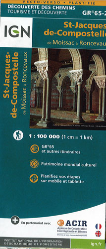
Santiago de Compostela - Moissac to Roncevaux GR65-2 IGN
$25.00
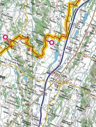
Chemin de St-Jacques - the Way of St James in France along the GR65 between Moissac and Roncevaux/Roncesvalles in the Spanish
Pyrenees @ 1:100,000 is a double-sided, waterproof and tear-resistant map from IGN.  The route is prominently highlighted on
contoured mapping and annotated with hiking distances. Symbols, both along the route itself and in the surrounding countryside,
indicate refuges, gîtes-d’etape, sport and recreational facilities, cultural heritages, etc.
The map has no geographical coordinates for GPS.
Map legend includes English and its printed on synthetic paper with a matte finish