 Enlarge
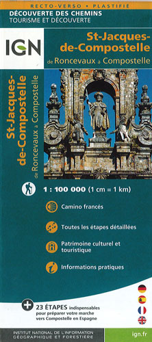
Santiago de Compostela - Roncevaux to Santiago IGN
$25.00
Camino Francés, the main route of the Way of St. James across northern Spain from Roncesvalles in the Pyrenees to Santiago de Compostela @ 1:100,000 on a double-sided, waterproof and tear-resistant map from IGN France with tourist information
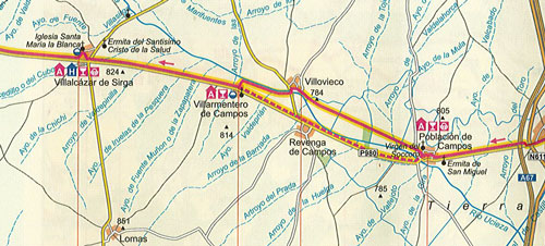
The IGN map with the start of Camino Francés at Roncesvalles from Puente la Reina just south of Pamplona, with the coverage finishing just west of Santiago. The panels present the route with the surrounding network of local roads and country tracks as well as railway connections. Towns and villages along the route are annotated with symbols indicating availability of various types of accommodation, restaurants and bars, food shops, post offices and medical or first aid facilities. Also marked are viewpoints, churches and monasteries, and other places of interest both along the route itself and in the nearby towns and villages. Each panel is accompanied by a profile with markings for elevation and overall distance from the French/Spanish border. Map legend includes English.
It includes a street plan of central Santiago. Printed on synthetic paper with a matte finish